Summit Fever in a Flat Town: Thirty Days of Bagging Hills That Barely Clear a Bus
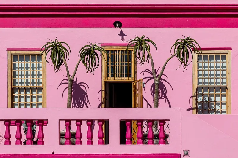
Photo: Dietmar Rabich, CC BY-SA 4.0, via Wikimedia Commons
I have lived here long enough to have opinions about the ring road, and until this year I could not have told you where the ground was highest. That felt like a gap. Not a dramatic gap, not the sort of gap that gets you on a documentary, but a gap. If I'm going to bang on about my corner of the country, I should at least know where the top of it is.
So I set myself a month. Every postcode district I could reasonably reach on foot or by one short bus ride, and in each one, the highest publicly accessible point. No trespassing, no climbing over anyone's gate, no pretending a railway embankment is a mountain. Just me, a pair of slightly knackered walking shoes and an Ordnance Survey app that kept telling me I was standing in a car park.
It turns out my town tops out at a number that sounds like a bus route. The whole grand sweep of it, from the retail park to the old gasworks, lives inside a contour that a decent cyclist would call a mild inconvenience. Good. Flat towns are honest towns. There's nowhere to hide.
Rule One: If You Can Stand On It, It Counts
I made rules early, mostly to stop myself arguing with myself at bus stops. The summit had to be publicly accessible. It had to be the highest point within that postcode district, verified on the map before I set off, not afterwards. And it had to be somewhere I could stand without a hi-vis jacket and a permit.
That last rule did most of the work. It ruled out the actual highest ground in three districts — a water treatment site, a private drive with a suspiciously aggressive gate, and one field that the map showed as blank green until you zoomed in and found it was owned by a company with 'Holdings' in the name.
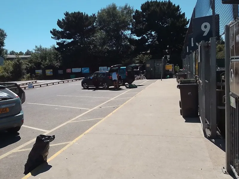
What was left was a strange little league table of overlooked corners. A reservoir bank. A churchyard on a slight rise that the Victorians definitely chose on purpose. The grassy lip of a bypass embankment. And, memorably, the sloping ramp between the upper and lower decks of a supermarket car park, which the app insisted was the summit of an entire postcode district and which I am not prepared to argue with.
The Reservoir Bank, or: A Very Good Bench With a View
The first proper one was the reservoir. Not a dramatic reservoir — no dam, no dramatic overflow, no melancholy Victorian masonry. Just a grassy bund holding back a lot of water, with a path along the top that someone has clearly been walking for decades.
The summit, such as it was, had a bench. Somebody had scratched a heart into the armrest. From the top you could see the whole town laid out like a model railway: the retail park, the church spire, the leisure centre roof, the new estate with its identikit brick and its one lonely tree.
I sat there for twenty-five minutes and did nothing. It was, genuinely, the best twenty-five minutes of my week. Not because the view was spectacular. Because it was mine, and because nobody else was up there, and because there is a particular kind of peace in standing slightly above a place you know too well.
The Retail Park Spoil Mound
I want to be clear that I have not gone strange. I did not have a spiritual experience behind the retail park. But the spoil mound — the landscaped heap of earth left over from building the car park, now covered in grass and a small, optimistic quantity of scrub — is a genuine high point of the district, and getting to the top of it involves a short, steep, entirely unnecessary climb that made me breathe harder than I'd like to admit.
From up there you get a view of the back of a bowling alley. It is not picturesque. It is, however, the only place in the district where you can see the whole of the retail park at once, and that does something odd to your sense of scale. You realise how much of a town is roof.
Two lads in tracksuits watched me take a photo of a bench. I explained what I was doing. They were politely baffled, then asked which postcode district was highest, and then argued about it for four minutes. I consider that a success.
The One That Was Actually Nice
The churchyard caught me off guard. The church sits on a knoll — not a big knoll, but enough of one that the Victorians put a wall round it and the gravestones lean at angles that suggest drainage was not a priority. It was the highest point in its district by about three metres, and it had a bench, and the bench had a view of nothing in particular: a bit of roof, a lot of sky, a tree.
I went back twice. That's the thing about this sort of project — you set out to tick boxes and you end up with a favourite bench.
What the Map Tells You
Halfway through the month I stopped thinking about heights and started thinking about how the town is put together. The high points are almost never where the interesting things are. The interesting things are down in the dip, where the old road runs and the shops are and the bus stops sit in a puddle.
The hills, such as they are, are where the town puts its water, its dead, its retail overspill and its grass. They're the leftover spaces, the bits nobody could build on. Which makes them quietly brilliant. You can't sell a reservoir bank. You can only walk on it.
Why Bother at All
A friend asked me, reasonably, what the point was. The highest point of my town is lower than the second-floor window of a hotel in a city two hours away. It is not a peak. It does not have a name on any list. Nobody is sending me a badge.
But that's the whole point, isn't it. We bag peaks because they're there, and here they're barely there, and standing on them makes you look at a place you've stopped looking at. Thirty days of small summits and I now know which side of town drains badly, where the wind comes from, which bench faces the sunset, and that the highest publicly accessible ground in one entire postcode district is a car-park ramp behind a supermarket.
I'd call that local knowledge. And it cost me nothing but shoe leather and one afternoon of mild embarrassment in front of two teenagers.